848 B
848 B
pretty_rivers
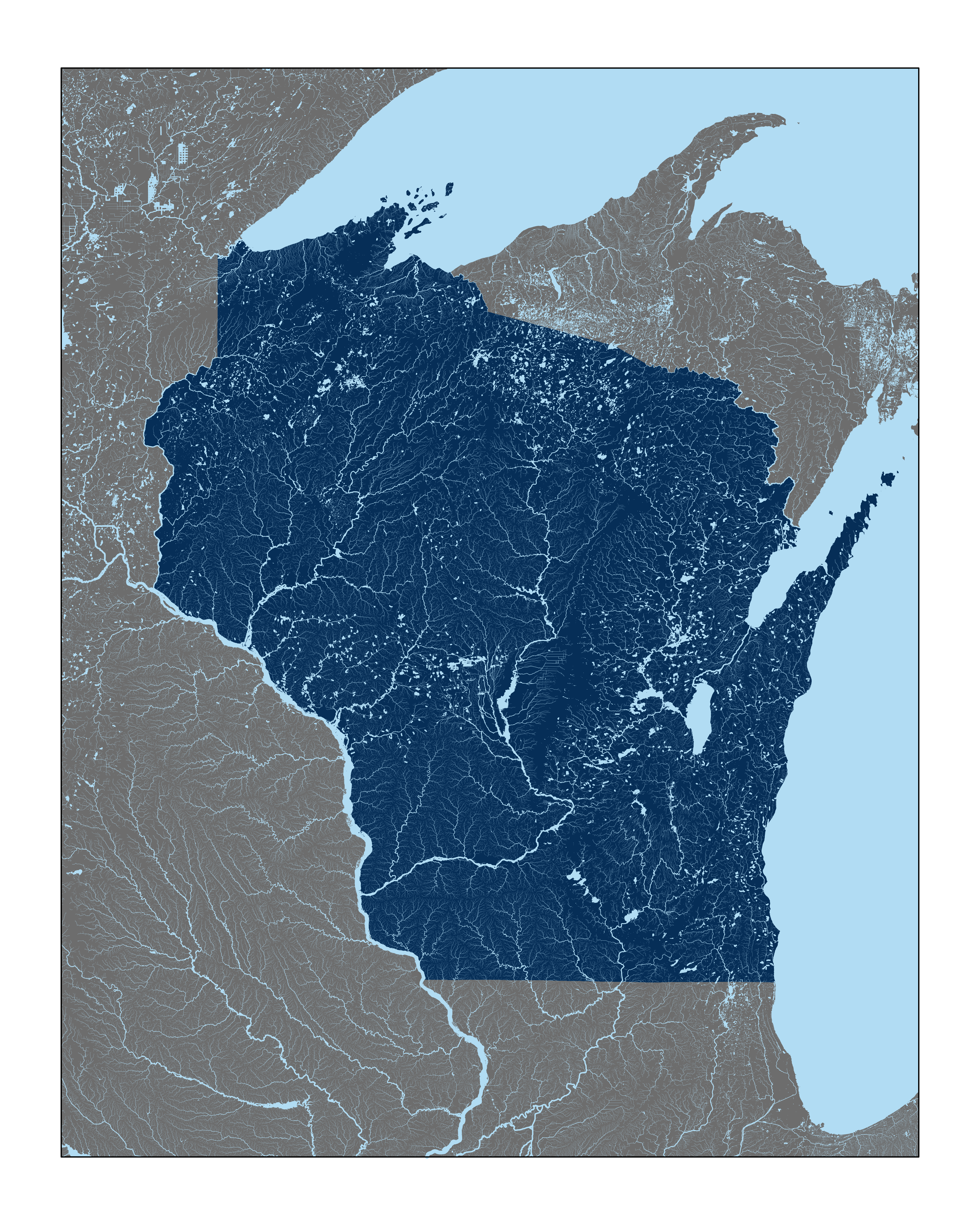
Downloads USGS data for a given location and makes a pretty map of the rivers. The width of the rivers is proportional to the area of land that the section of river drains.
To run :
- Clone the repository
- Edit the extent of the map you want to produce in
extent.csv. Include lat/long coordinates of two opposite corners (i.e. top-left and bottom-right). - Run the scripts:
01_download_data.R- This will take the longest. The whole of Wisconsin downloads ~12GB of data. It downloads the data to adatadirectory in the repo02_process_data.R- This loads and processes the data. After the initial run downloading the data for a given extent, you can start with this script.03_make_figures.R- This generates figures in afiguresdirectory in the repo.
Example figure